USTR Withdraws Indian Map After Pakistan Protests Incorrect Territorial Representation.
Listen2 min
Read aloud by your device’s built-in synthetic voice, not a recording. Needs a browser that can read aloud.
USTR withdraws India map Pakistan protest
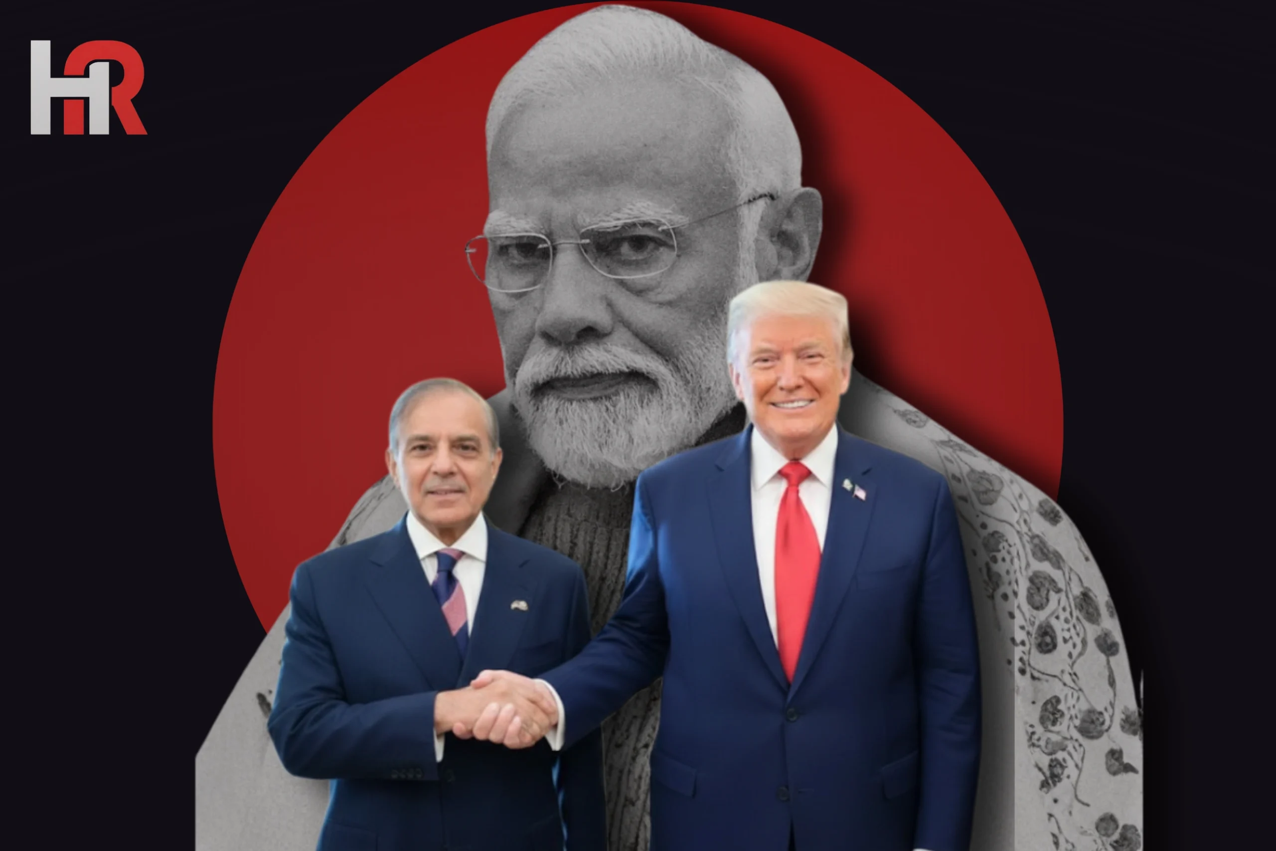
In a significant diplomatic correction, the Office of the United States Trade Representative (USTR) has withdrawn a map of India from its official X (formerly Twitter) account. The decision followed formal protests from Pakistan, which objected to the map’s depiction of internationally recognized disputed territories as part of India.
Key Details of the Controversy
- Disputed Depiction: The map, shared on February 7, 2026, accompanied a press release regarding a framework for an interim US-India trade agreement. It showed the entire Jammu and Kashmir region—including Azad Jammu and Kashmir and Gilgit-Baltistan—as well as China’s Aksai Chin region within Indian boundaries.
- Diplomatic Protest: Pakistan’s Foreign Ministry lodged a strong protest with both the US Embassy in Islamabad and the State Department in Washington. Foreign Ministry spokesperson Tahir Andrabi stated that the map was “illegal” and contradicted the United Nations-sanctioned depiction of the region as disputed territory.
- Swift Removal: The controversial visual was posted on a Friday and completely removed by Monday evening, the first working day following the weekend. While the specific map has been withdrawn, the trade-related press release remains available online.
- Technical Oversight: Officials familiar with the matter noted the map appeared to be a technical error, likely sourced from Google Maps, which has previously led to similar discrepancies in official US government communications.
- Sensitivity of Timing: The controversy erupted just as Washington and New Delhi announced a major trade deal that would reduce tariffs on Indian goods from 50% to 18%.
Regional Implications
Analysts noted that the incident underscores the intense cartographic diplomacy in South Asia. For Pakistan, the removal reaffirmed Washington’s long-standing position that the final status of Jammu and Kashmir must be determined through international law and UN resolutions.